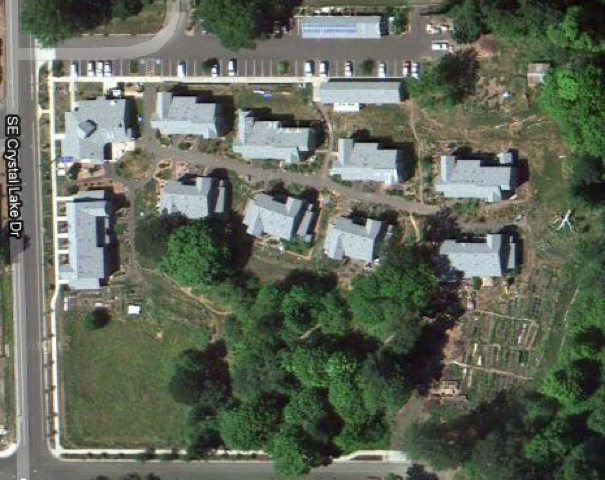
A July 2010 image of CoHo is now available on Google Earth.
At first, the date the image was taken wasn’t clear, but CoHoots were able to date it by CoHo features–the northside fence was up, but the solar panels on the living units were not (they were installed last fall).
It’s interesting to have a different physical perspective on our property. At our June 25th Land Charette, we used paper drawings to imagine how our space could be used. The Google Earth view with buildings, trees, garden space, gives a richer context for future developments.
